
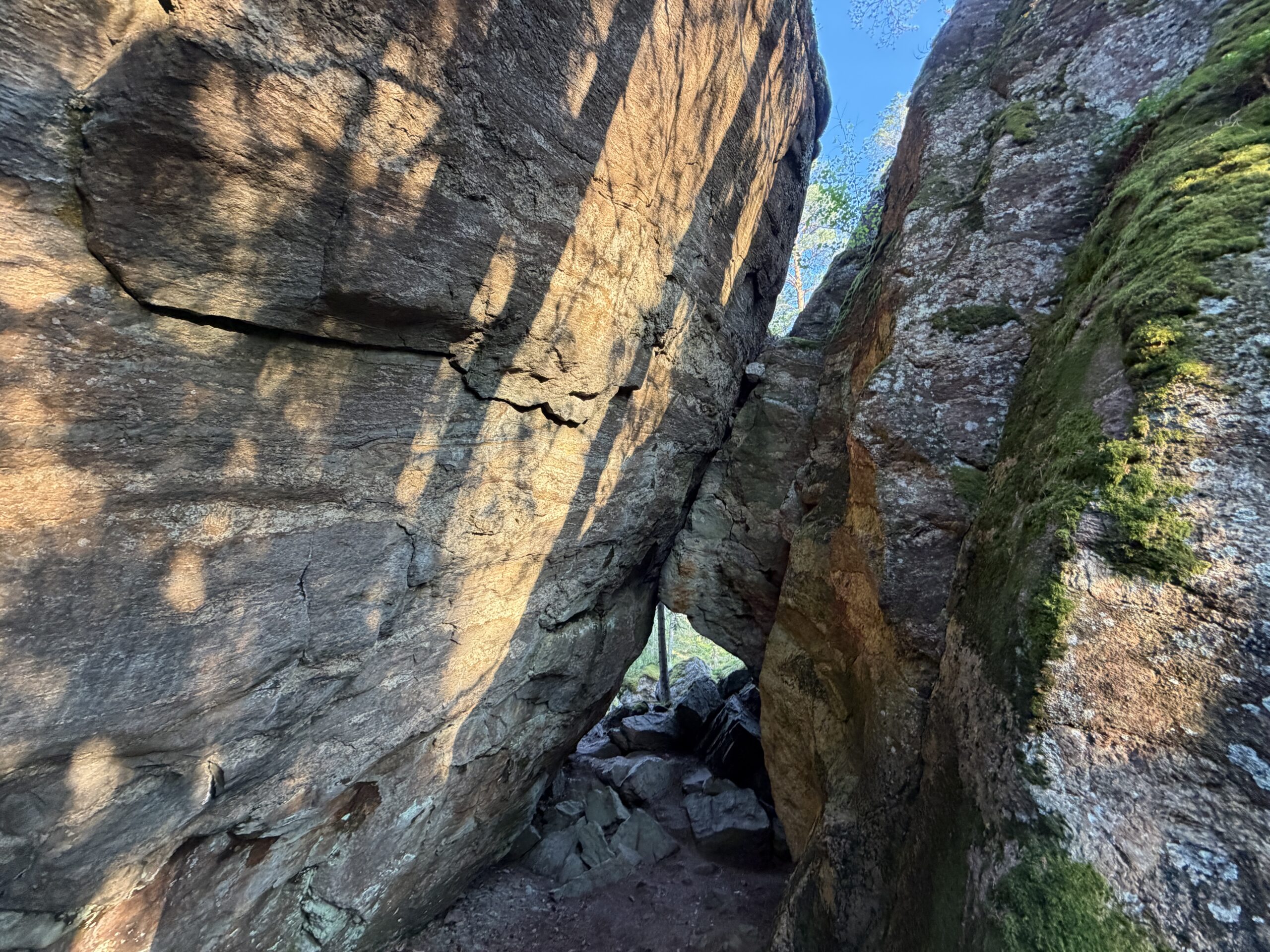
Rakokivet erratic boulders
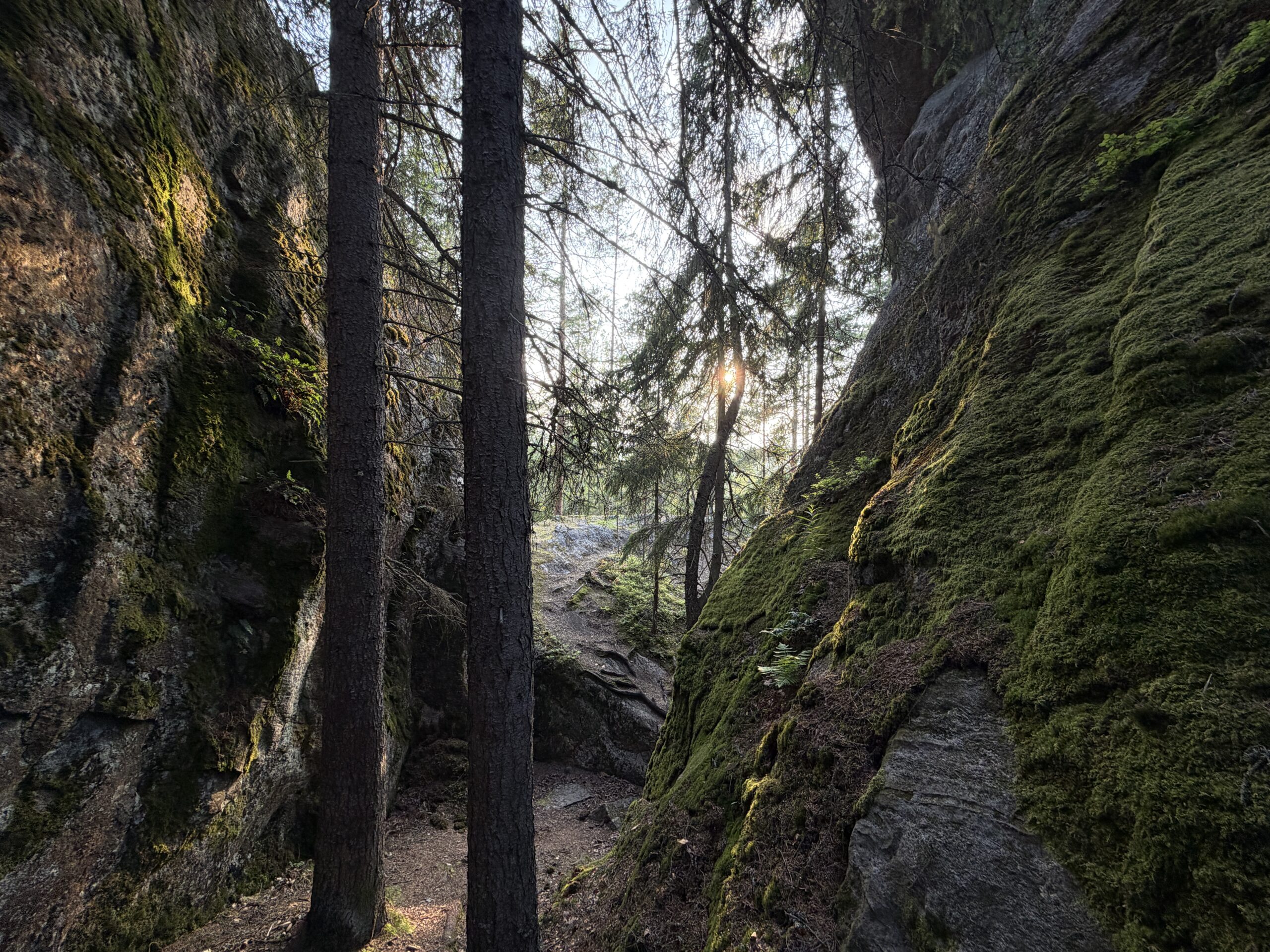
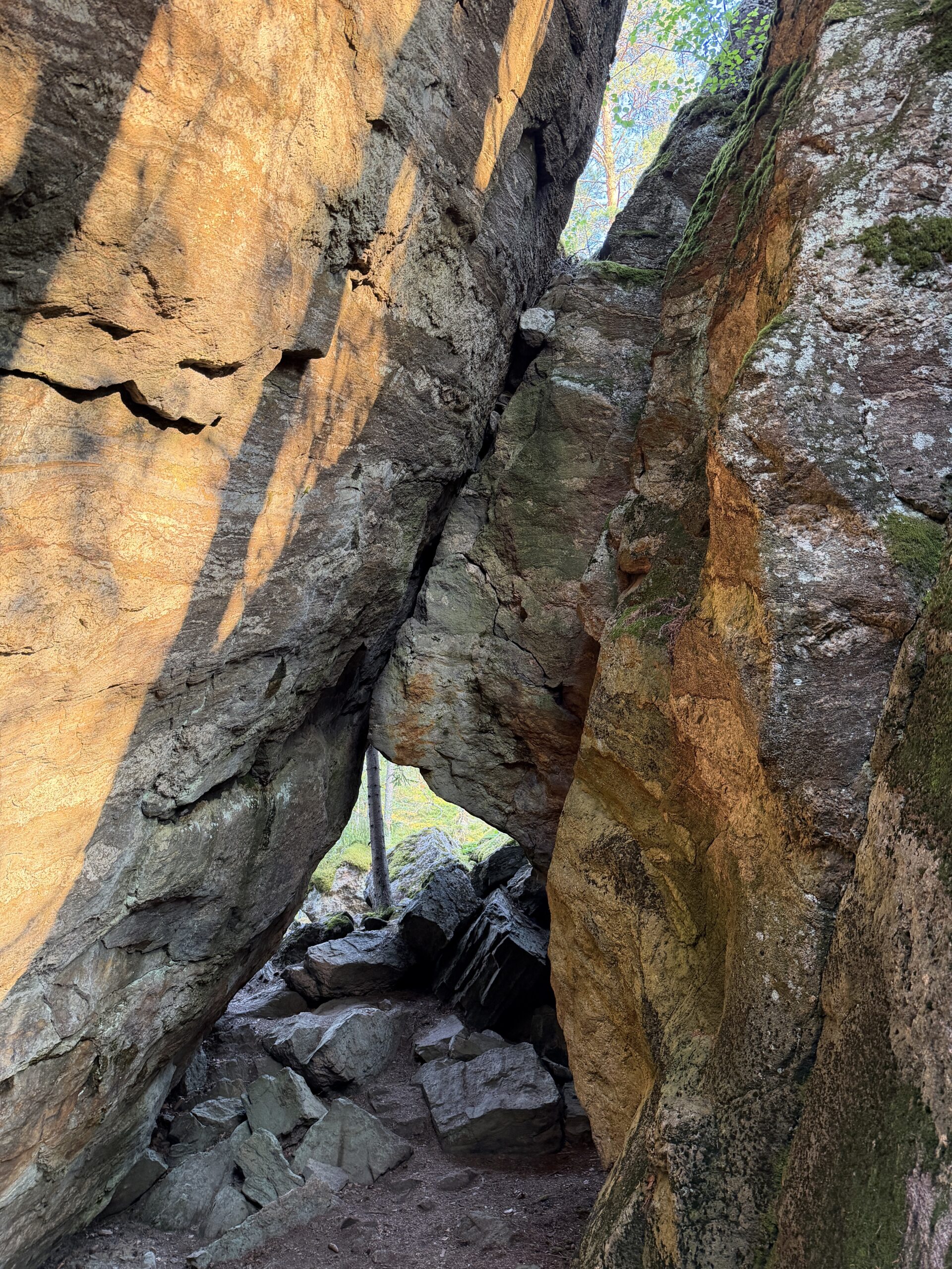
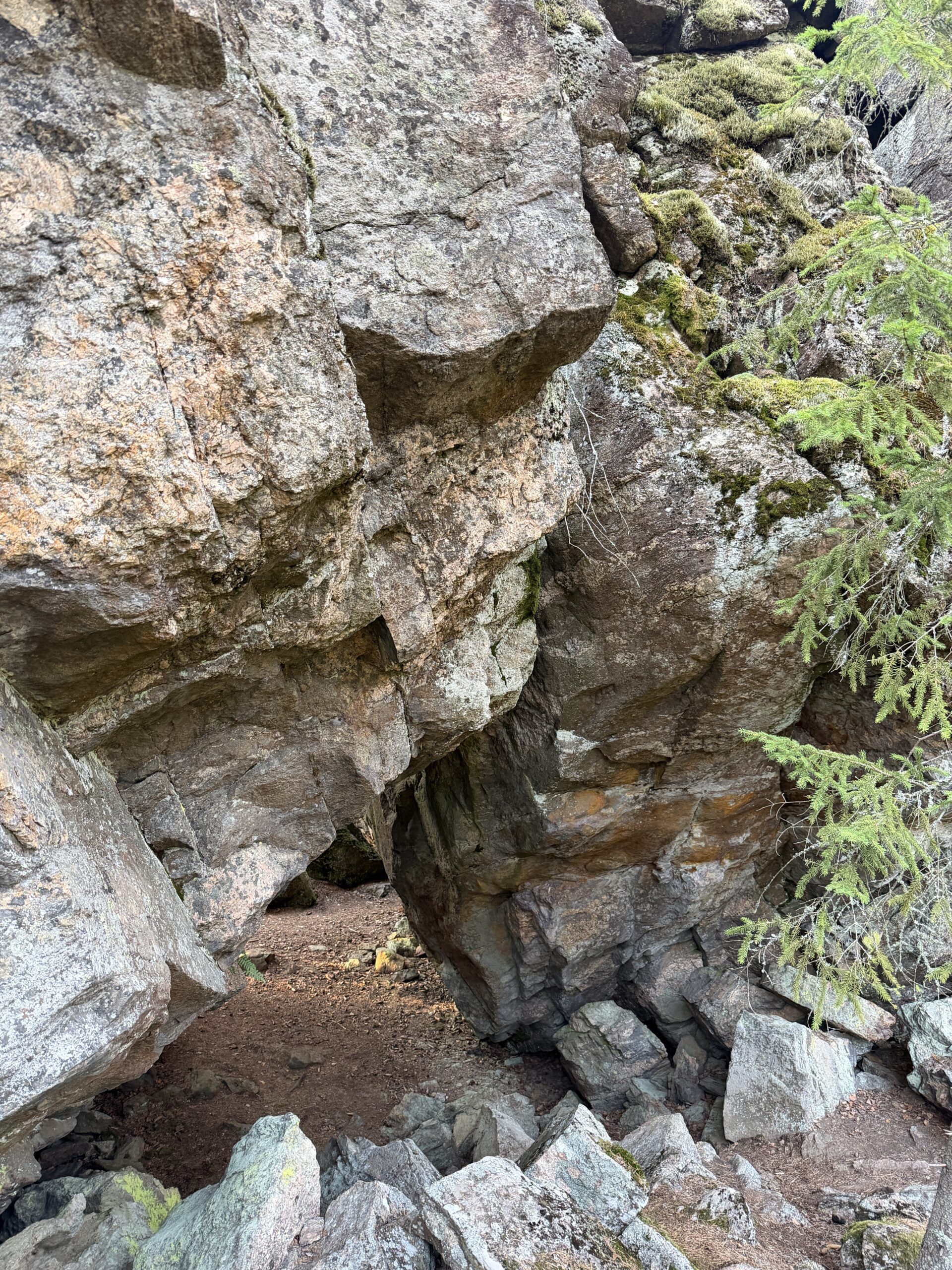
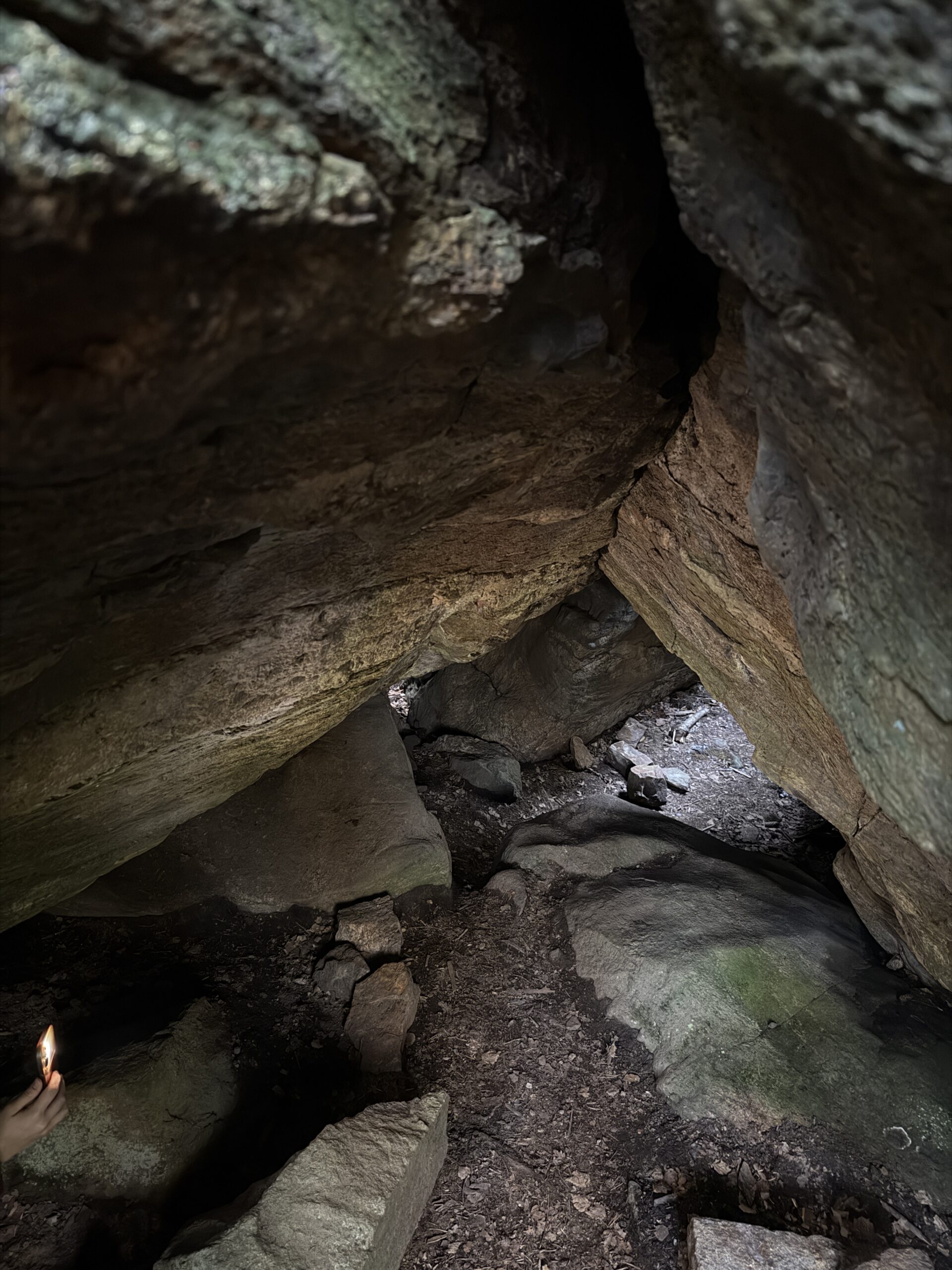
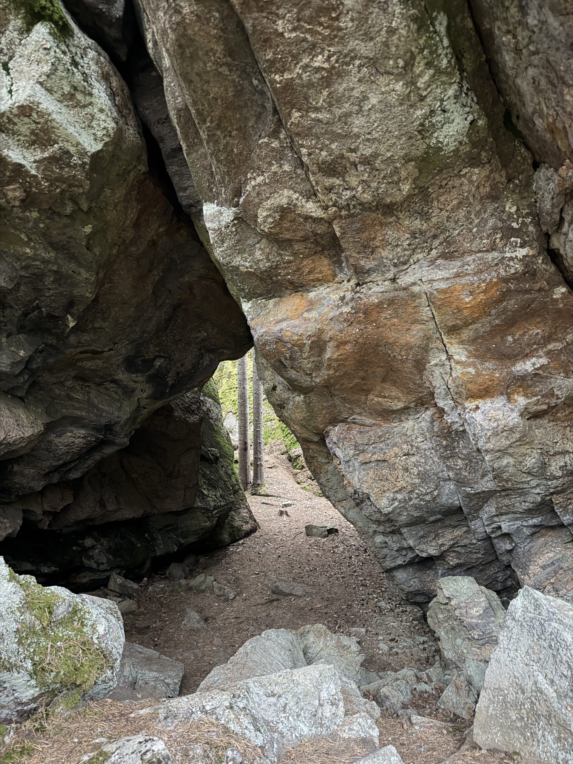
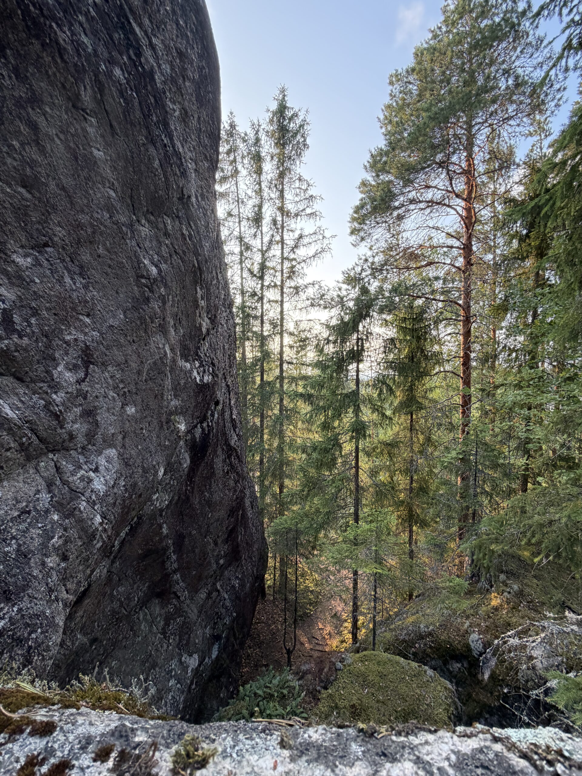
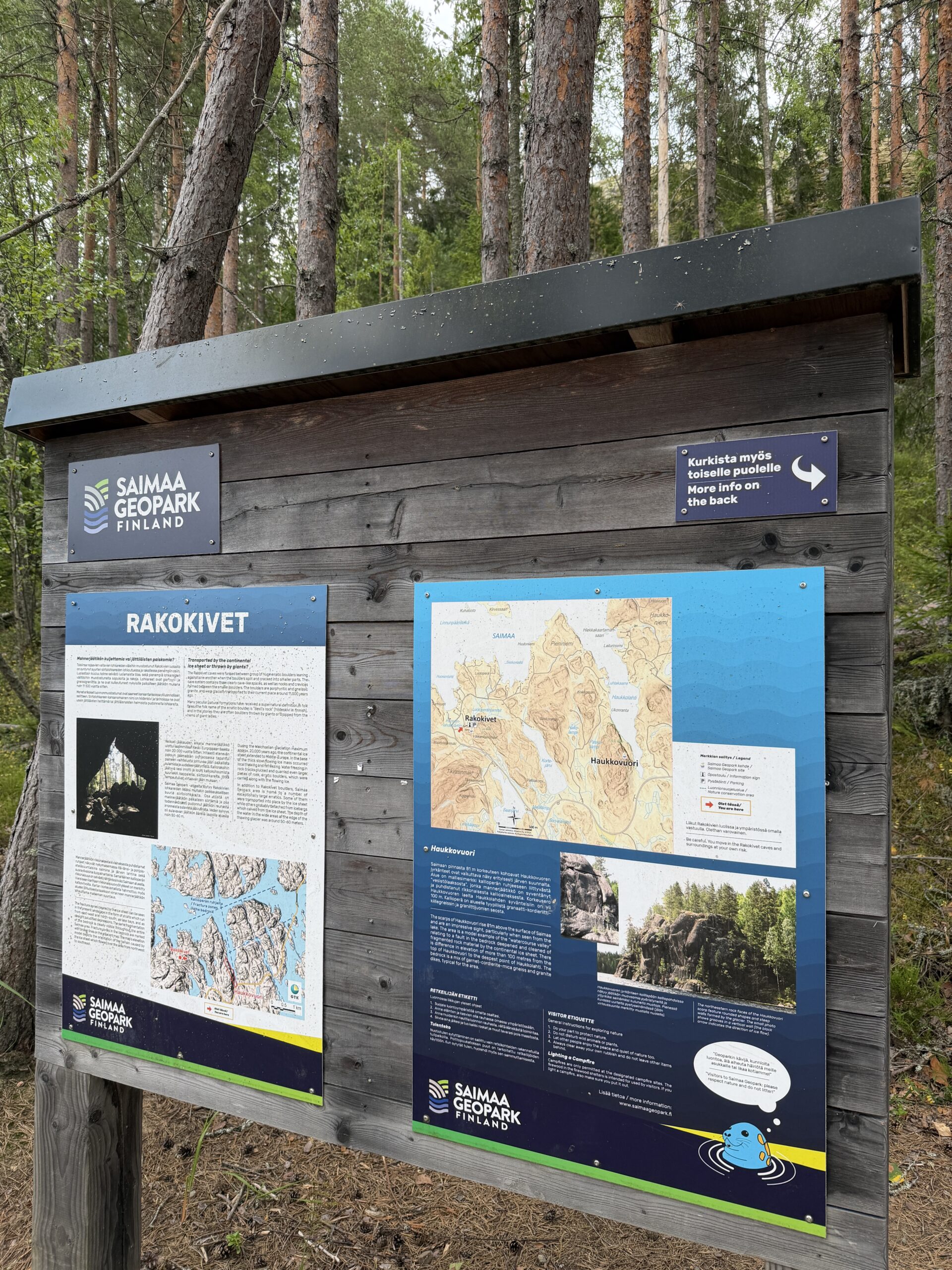
The Rakokivet caves were formed between group of granite, mica gneiss and veined gneiss boulders leaning against one another when the boulders split and cracked into smaller parts. The cave system contains three clearly cave-like spaces, as well as nooks and crevices formed between the smaller boulders. The boulders were glacially transported to their current place around 11,500 years ago.
Saimaa Unesco Geopark site Rakokivet (pdf)
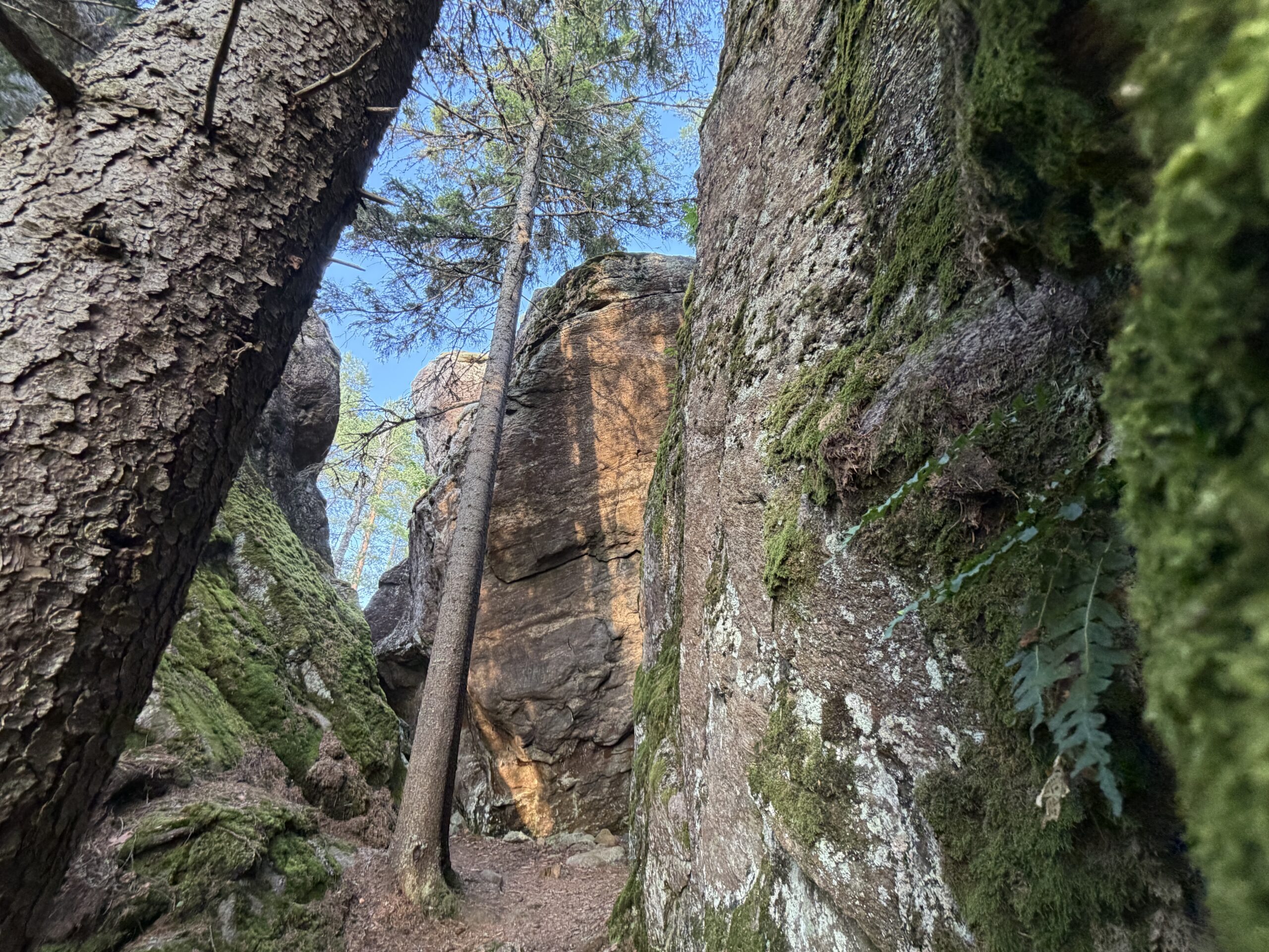
Experience the cavern of the Rakokivet
The rock types in the Rakokivet boulders represent the bedrock of the immediate area and have been transported by the glacier for only a short distance. The boulders have broken down during and after the glacier transport. In the surroundings of the Rakokivet, the highest shoreline (about 100 m asl), or the zone that emerged under the water after the glacier melted, was formed at the end of the Lake Saimaa ice lake phase. The boulders were then in the shoreline and their lower parts were washed by the waves.
Rakokivet boulders, which have been identified as nationally valuable, are located north of Lietvedentie road (Kantatie 62) and west of geosite Haukkovuori. Anttola is about 21 km from Rakokivet and Puumala 29 km. There is a parking space and a Saimaa Geopark sign next to the Rakokivet boulders. The boulders are on a rocky slope covered with gravel and there is a small esker ridge near the boulders where the soil has been extracted.
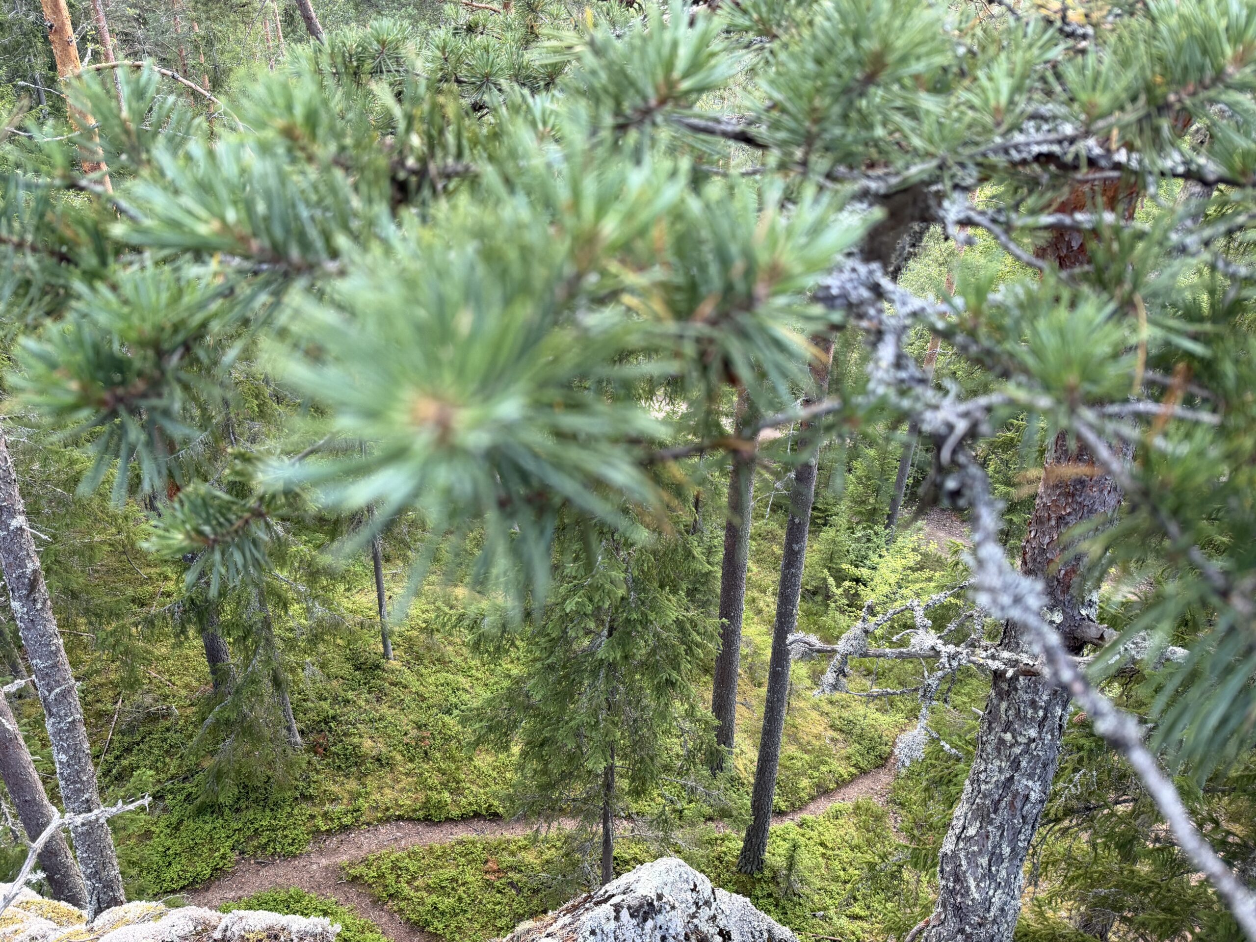
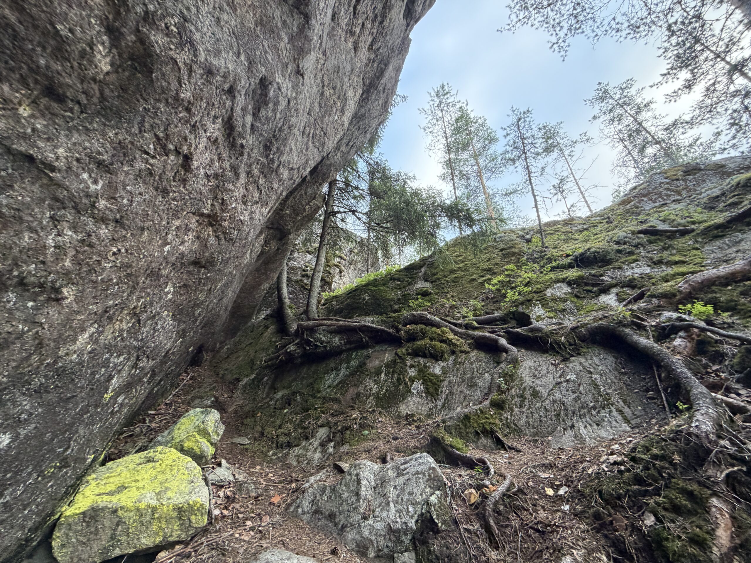

Also located near Rakokivi are the magnificent cliffs of Haukkovuori, as well as Guide Tiina's canoeing base camp and the Pienniemi Taiga farm & accommodation.